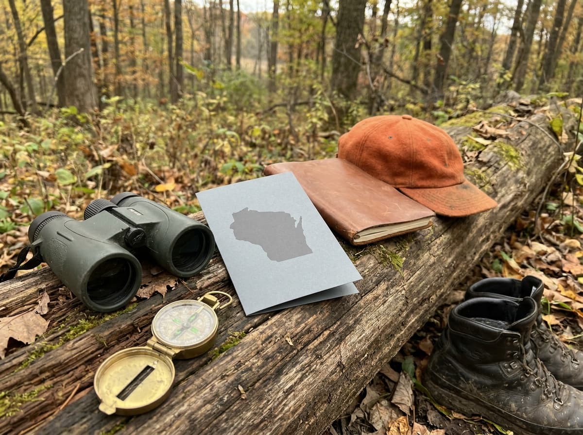
One of the best-kept secrets in whitetail country is that you do not need to own or lease ground to hunt Wisconsin well. According to the Wisconsin DNR, there are over 6 million acres of public land across the state, with most of it open for hunting, and the tools to find and navigate that land have never been better. The challenge is understanding the different access programs, because the rules and how you locate each one are not identical.
The program types
Public and publicly accessible hunting land in Wisconsin falls into a handful of categories, each with its own ownership and access rules.
| Program | What it is | Notes |
|---|---|---|
| State DNR lands | Wildlife areas, state forests, fishery areas, and other DNR properties | The core of public hunting; generally open, some site-specific rules |
| Federal lands | National forest and other federal ground | The DNR mapping tool shows nearly all federal lands |
| County forests | County-owned forest, extensive in northern Wisconsin | Shown as county lands in the DNR tool; a major share of the acreage |
| MFL and FCL open | Private tax-law lands enrolled as open to the public | Managed Forest Law open lands allow hunting, fishing, hiking, sight-seeing, and cross-country skiing; Forest Crop Law lands allow public hunting and fishing |
| Voluntary Public Access | Private land opened through a USDA-funded incentive program | About 28,000 acres, open year-round; hunting, fishing, trapping, and wildlife observation only; camping prohibited |
The two tax-law categories are worth understanding because they put private forest into public reach. As the DNR's Tax Law Lands Open to Public Recreation page explains, landowners enroll under Managed Forest Law or Forest Crop Law for a property tax incentive, and some of those parcels are designated "open," which grants public access for specific recreational uses. On these lands, all hunting and fishing must follow the standard DNR seasons and regulations.
How to find them
The DNR has consolidated most of the search work into a set of online mapping tools, reachable from its public lands hub.
- Public Access Lands tool. This is the primary finder. The DNR says it shows DNR properties and nearly all federal and county-owned lands, and that open Managed Forest Law and Forest Crop Law properties are included as well. It is mobile friendly, so you can reference it in the field.
- Voluntary Public Access map. A dedicated interactive map for VPA parcels, with guidelines you should read before accessing a property.
- FFLIGHT tool. The Fields and Forest Lands Interactive Game bird Hunting Tool helps locate young aspen and alder habitat, woodcock and ruffed grouse areas, pheasant-stocked public grounds, and public-access dove fields.
- MFL and FCL open land lists. These county-by-county lists give legal descriptions of open parcels. Because they show descriptions rather than mapped boundaries, you may need county plat books to identify ownership lines, roads, and water.
Rules and etiquette on shared ground
Public land is exactly that, shared, and the experience is better for everyone when hunters treat it that way. The DNR's public-land guidance emphasizes a few habits:
- Know the boundaries and hunt only in legal areas. Property lines on tax-law and VPA parcels are not always obvious on the ground, so do your mapping homework first.
- Have a backup plan. The DNR recommends scouting multiple options in case of changing weather or added hunter pressure in a particular spot.
- Follow leave-no-trace principles, including not cutting or altering tree limbs, which is prohibited on many properties.
- Be aware of others. Other hunters and recreational users are likely present, so hunt courteously and safely.
- Wear blaze orange or fluorescent pink as required. During a firearm deer season, check the current Wisconsin DNR regulations for clothing requirements and exceptions. Do not rely on a summary when the exact season and activity determine the rule.
Scouting turns a map pin into a real hunt. E-scouting the mapping tools, then walking the ground to read terrain and sign, is the proven sequence, and trail cameras help you confirm that deer are using an area before you invest sits there. Our roundup of the best trail cameras covers scouting tools, our whitetail rut guide covers when to hunt, and the hunting hub collects the rest. This article covers access programs and regulations context only; consult the current Wisconsin DNR regulations for licensing, seasons, and legal methods.
How much public hunting land does Wisconsin have?
The Wisconsin DNR reports over 6 million acres of public land statewide, with most of it open to hunting, plus roughly 28,000 acres of private land opened through the Voluntary Public Access program. That total spans state DNR properties, federal lands, county forests, and private tax-law lands enrolled as open under Managed Forest Law and Forest Crop Law.
What is MFL-open land in Wisconsin?
Managed Forest Law is a tax-incentive program for private forest owners. Parcels enrolled as "open" allow public access for hunting, fishing, hiking, sight-seeing, and cross-country skiing. The related Forest Crop Law program allows public hunting and fishing. On both, hunting and fishing must follow standard DNR seasons and regulations, and you can find open parcels through the DNR's mapping tool and county open-land lists.
How do I find public land to hunt in Wisconsin?
Start with the DNR's Public Access Lands mapping tool, which shows state properties, nearly all federal and county-owned lands, and open MFL and FCL parcels. Use the Voluntary Public Access map for VPA land and the FFLIGHT tool for game birds. Confirm hunting is allowed, check boundaries against plat information where needed, and scout a few options before the season.
Sources
- Wisconsin DNR, Discover Public Land To Hunt This Season
- Wisconsin DNR, Tax Law Lands Open to Public Recreation
- Wisconsin DNR, Managed Forest Law
- Wisconsin DNR, Voluntary Public Access and Habitat Incentive Program
- Wisconsin DNR, 2026 Online Hunting Regulations